I should just start a series on the Korean War in this area. I’m finding so much interesting material, and still only just scratching the surface.
Today, while looking over the Army history site’s products on the Korean War, I discovered they’d mislabeled a book in which I was interested – South to the Naktong, North to the Yalu by Roy Appleman. Once I figured that out, I downloaded the book and started reading its account of the “Battle” of Pyeongtaek (I put “Battle” in quotes because there really wasn’t much fighting there at all, if any). A portion caught my eye saying that the Americans headquartered in the town “decided to keep the 1st Battalion in its blocking position but to destroy the highway bridge just north of the town now that enemy tanks must be expected momentarily.”
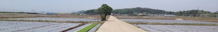
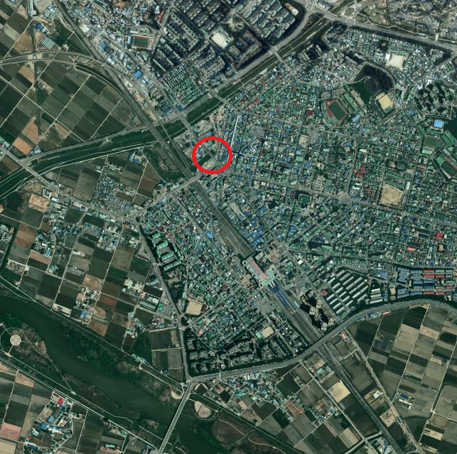
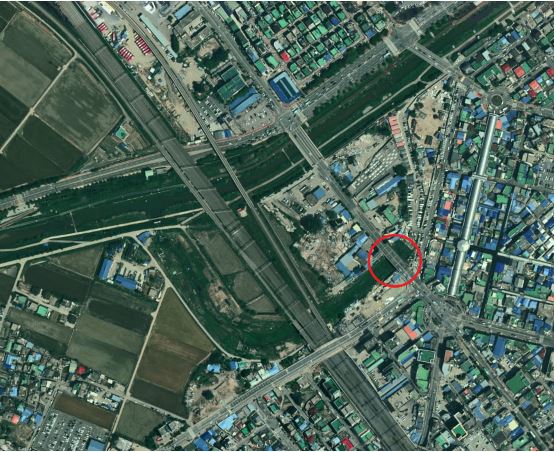
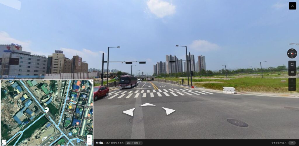
I thought through the area and wondered what bridge they were talking about. There are no major rivers between Pyeongtaek and the Jinwi River just north of Osan Air Base’s current location, so I went back to the 1950s maps and took a look. Of course, Pyeongtaek was much smaller at the time, and it turns out that all of it was south of what today isn’t really much of a river. More of a stream. But even today, from bank to bank, it’s still perhaps a 30-meter span.
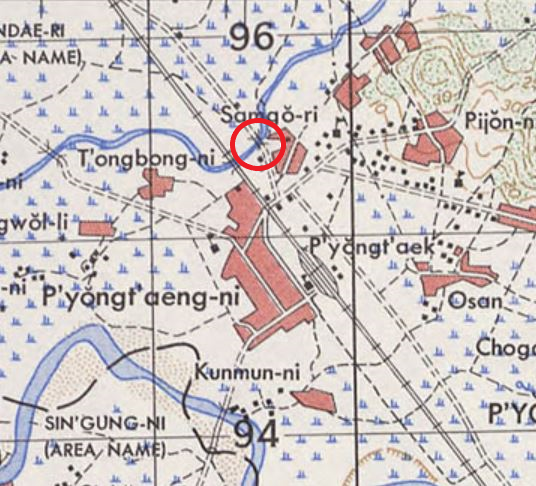
Interestingly though, it’s another case where the river’s course has been altered since the war. The remnants of the original remain, and more obviously than in the case of the river to the northeast side of Osan Air Base of which I’d written earlier. As recently as early last year there was even still a bit of a stream in the river’s original bed, making the job of tracing its path easier. And unlike today, the town of Pyeongtaek was fairly contained within an area below this river, to the west of the train tracks and station, and to the east of the Anseong River (by contrast, today the bulk of Pyeongtaek City proper is east of the tracks).
So I’ve solved this tiny mystery (and even that, only a mystery to me). Perhaps as I find more thorough accounts of the four battles of the early war that are in range of my rides (Osan, Pyeongtaek, Cheonan, and Choriwon), I’ll be able to track down and learn the stories of more locations like this. I’ve already got my ideas about the line in the book that says, “Payne eventually located the enemy tank on the railroad track about a mile ahead at the edge of Sojong-ni” — the town (now district of the greater Pyeongtaek city) between Osan Air Base and Pyeongtaek. Stay tuned…
Good article Bob. Did this battle happen during the NK push in July 1950? Interesting to see that map from 1950. Where did you find that?
Yes, it was during the initial push. After they rolled over Task Force Smith in 5 July, Pyeongtaek was the next attempt at us blocking, but it didn’t last very long. Some skirmishing along the way, then the next battle at Cheonan, then the Battle of Ant Hill. I actually biked down to that spot, passing through Cheonan on the way and seeing a memorial to a US Colonel who died in that battle. https://www.aminkor.org/2021/07/03/following-the-norths-advance-and-the-battle-of-ant-hill/
Here’s the link to the maps page. https://www.koreanwar.org/html/korean-war-topo-maps.html?list=list