A radio personality and podcaster to whom I listen does a segment about how things were, “back in the day.” He mentioned recently how we used to have to go buy maps at the gas station, and of course, how hard they were to fold. I love maps. To me, they’re nearly as good an escape as books. I’ve spent many hours poring over them, exploring new places and finding new treasures.
It helps, too, that I’ve always had a decent memory for landmarks and a good sense of direction. Some years back, I visited a tremendously remote rural location in the foothills of an even more remote mountain chain in another country. When we went back a year later, one of my traveling companions was surprised that I knew every turn on the route we were taking to the same destination, several miles and many hours away. All these years later, I could probably still get us there. Navigation has usually come naturally to me. Even when I have to stop and consult a map, it’s only to get me to a place from which I can get anywhere else on my own.
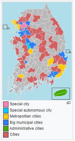
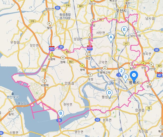
Twenty years ago, we still used paper maps. There was a series of such maps here in Korea of the major “cities.” Cities here are kind of like counties in the States (there are other counties that are actually “counties” here too, roughly equivalent to the cities in size, only differing based on population). The cities now cover a lot of area (to include a lot of farmland), and the main concentration of population that used to carry the city’s name from decades past would become something akin to a county seat. The city of Gimpo, for example (known to us older people for the airport through which most of us came to Korea before the airport was built at Incheon), stretches from the original city itself in the south all the way up through some beautiful rural land to the DMZ. When I was here in the 80s, Songtan itself was a city, and Pyeongtaek was another. But in May of 1995, Songtan was merged into the larger city of Pyeongtaek, along with all of the lands west to what is now Pyeongtaek Port. When COVID first hit, one of the points of confusion was that people still referred to the original city boundaries of Pyeongtaek as being “off-limits,” while others were thought “Pyeongtaek” meant the entire territory of the current-day city – which includes where I live — encompassing a much larger area than intended for quarantine.
Early in my biking days, I used to carry a paper map of Pyeongtaek city in my jersey pocket. I loved it to tatters, and owned at least three iterations of the same map (as well as one for Yongin). I even got one in a bookstore when I came back to Korea in 2006, and I sure wish I still had it (who knows, maybe it is indeed still buried among some forgotten papers in a closet somewhere…although I doubt it). I used to love spreading that map out and plotting my course for the day. Or stopping in the middle of nowhere, pulling it out, and trying to figure out which way to go (this explains the multiple iterations really – sweaty hands, dirt, crumpled and stuffed in a back pocket – well-worn and loved). I still do the same as I navigate through unfamiliar territory, but these days it’s with an app on a phone. It works, but it’s not the same. Especially in strong sunlight where you can hardly see the screen.
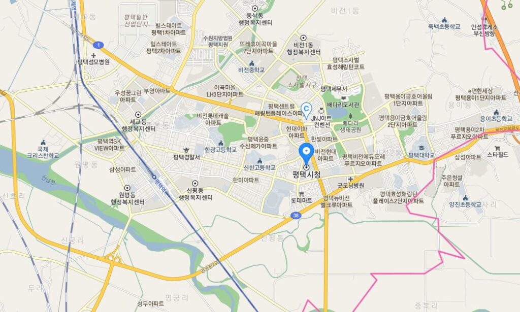
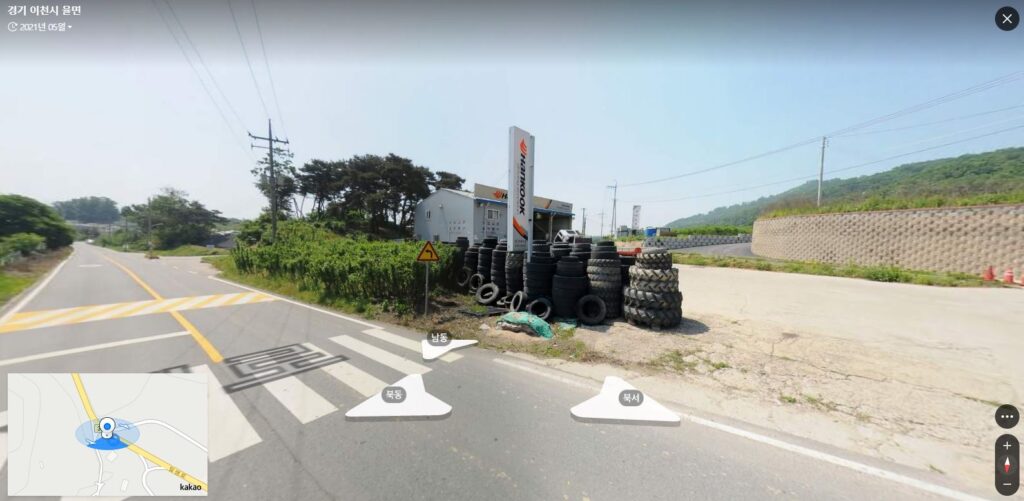
I’ve talked about this in the past here. These days, I use something like Kakao or Naver maps. When I ride, I study the routes thoroughly before I even set out. I love using street view to pick up landmarks – “We need to go on this road until we see a garage with a Hankook Tire sign in front. We take a right there.” I also love just opening up the maps online and picking a spot to explore. I can zoom in and see all of the smallest roads. I can change over to satellite view and see if I really can get through some tricky spots. I can measure distances – quite accurately actually. I can switch over to topographical and see if there are any major hills. Basically, I can almost take the trip before I actually take the trip.
I’ll always look at a map and see countless possibilities. It’s such simple pleasures that often make me so easy to please.
I feel the same way about trying to see a screen in bright sunlight, just not as useful as a paper map for seeing the big picture