I wrote just a couple of days ago about my love for maps and how I look at them and see the possibilities.
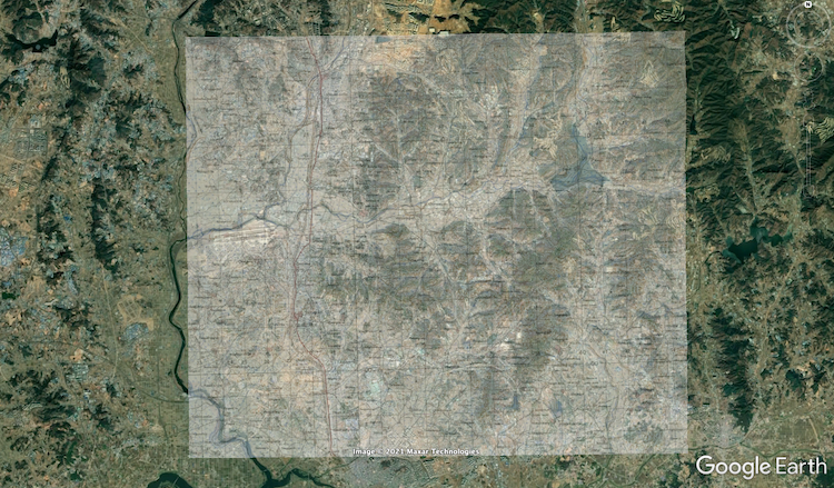
So, in a desire to play around and see what I could find, I looked up how to overlay an image over Google Earth, and when I did it with the map of my immediate area, I came up with a couple of interesting observations.
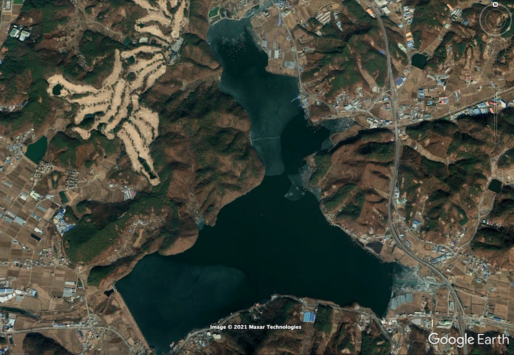
First, there used to be a village called “Obi-ri” to the east of where I live, but it was covered when they built Yidong Reservoir (which you might recognize if you follow me on Strava from one of my BCFB routes).
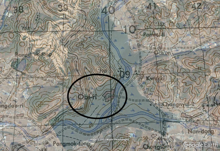
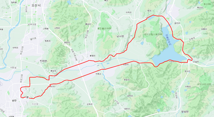
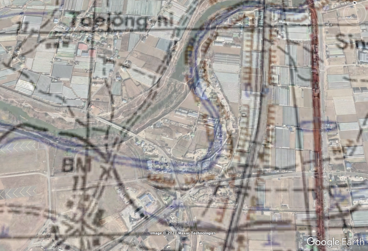
Second, and what I think is even cooler, is that I’d noticed that the river north of base (the Jinwi) seemed to have been straightened out and moved around a bit over the years. In particular, there was a sharp bend near the northeast corner of where the base was to be built after the war. When I overlaid the 1950 map, it showed the bend, but when I looked under the bend (I’d set the opacity of the overlay at about 50%), I could see a pattern in the terrain that I hadn’t seen before.
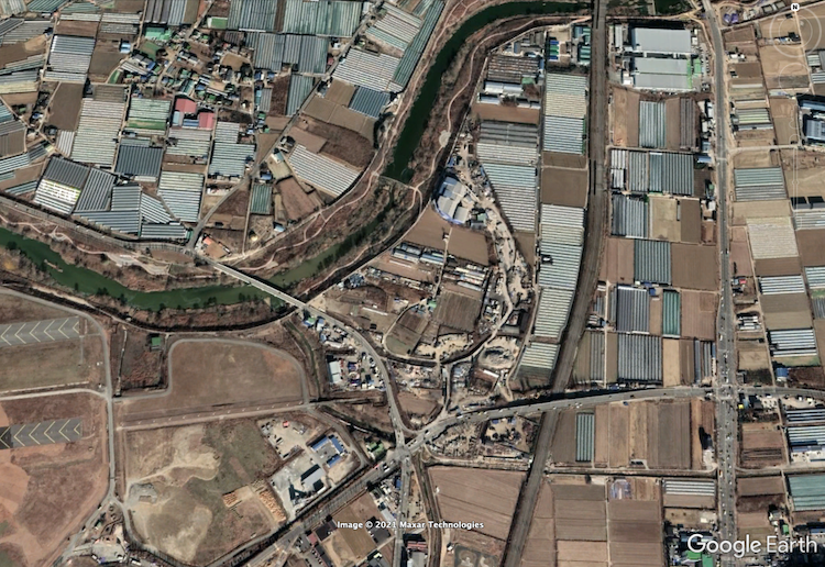
Sure enough — when i turned off the overlay, I could see the outline of the bend in the land where it used to be. I’ve looked at maps and images of the area for years but never noticed. I doubt that anyone has, and there are probably very few people left in the area who remember. It’s like they filled in the old river and built right over that exact area, leaving a good portion of the land around it to be used as it was before (agriculturally).
I think this kind of stuff is so cool. It’s reminds me so much of exploration and discovery — a bit like an adventure without having to leave home. I wonder if there’s any use for it anywhere? I wouldn’t mind getting a job where I could do this kind of stuff.
In the meantime though, I guess next time I pass Yidong Reservoir, I’ll pour one out for the villagers of Obi-ri…