I love maps. Maybe it’s in the imagining where I can go or what I can see when I get there. I look at the page (or screen) and I see all of the connections and all of the possibilities.
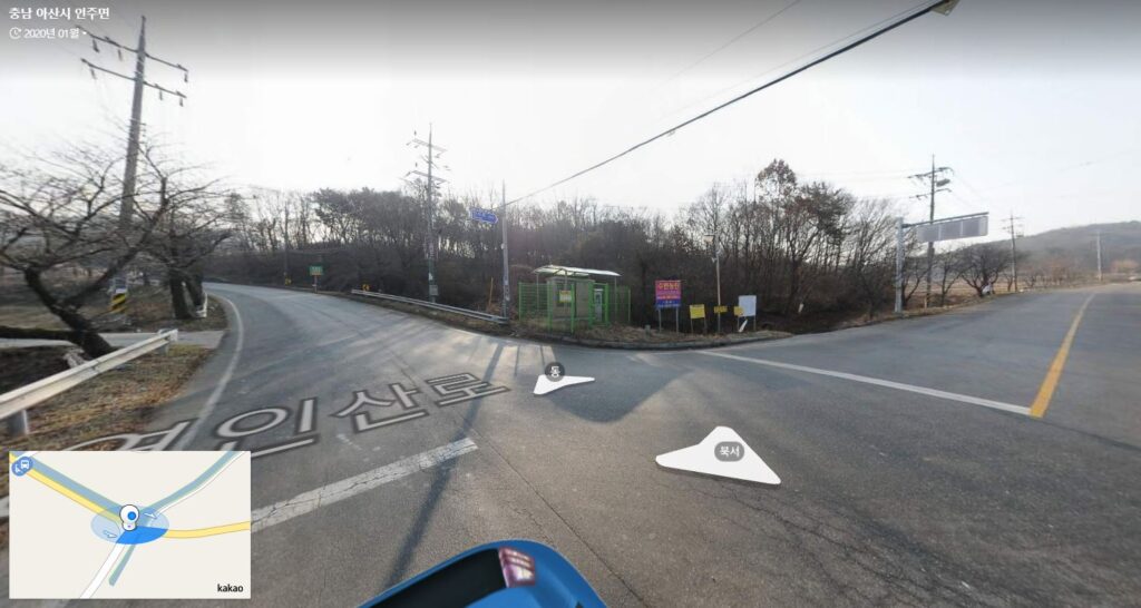
I love what the internet has done for mapping. I plan my bike routes in great detail using Kakao maps here in Korea. It practically takes me there before I go. I’ll see a road, drop down to street view, check it out, and figure out if I want to go that way. More than a few times, street view has taught me where to turn too. I’ll drop into the middle of an intersection, pick out a landmark and say to myself something like, “OK, I’ve got to turn right at the bus stop with the orange roof.” So when I go on a ride, I usually know the route quite well, even if I’ve never been there before.
I’m also a big fan of Korean history, and online maps and street views help me find things of interest (although just finding things on their own in the middle of nowhere is still much more fun). It was on Kakao maps that I found the French Korean War Monument north of Suwon a couple of weeks ago. And Kakao (and Naver) maps helped me find a lot of story trees back before I had the book for them.
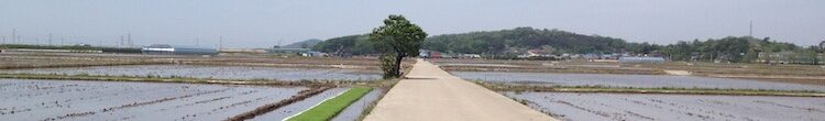
One part of Korean history (when it comes to maps) has always intrigued me. I’ve always wanted to find MSR1 and maybe ride it for a good part of its length. MSR1 was the “Main Supply Route” in Korea during the war and after – the road that ran from Seoul to Busan. It generally followed what is now National Highway 1, a road that runs just a couple of blocks from where I live. The current Highway 1 though diverges from MSR1 in plenty of places, and just north of Daejeon, it leaves the route entirely and heads for the southwest coast opposite Busan. I see MSR1 as a kind of Korean “Route 66” – it’s a road with important historical significance, and in a few places it still has some of its historical “charm,” especially when it dives into small towns as the main road bypasses them.
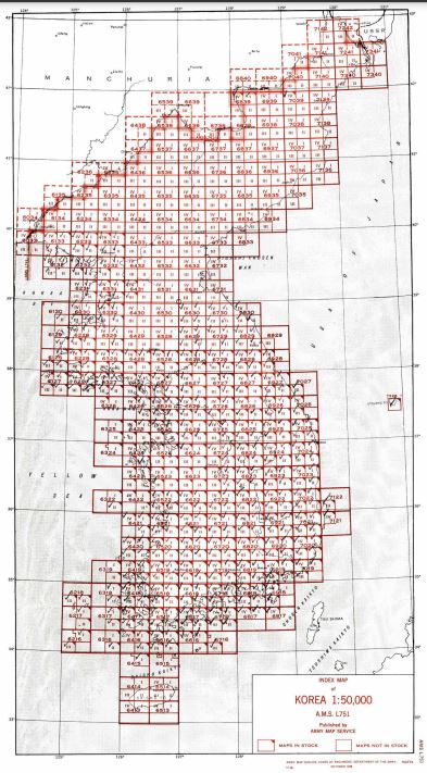
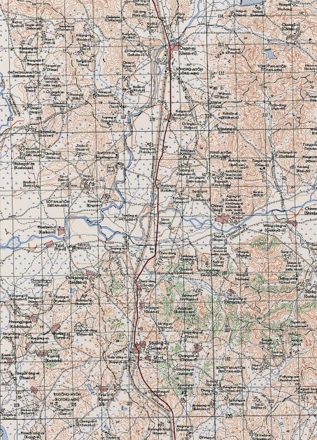
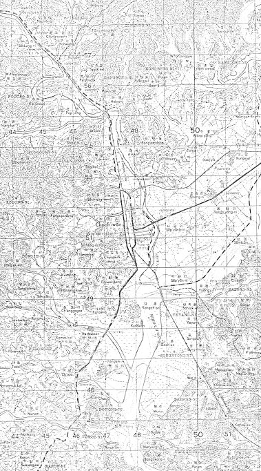
But where is MSR1? There have been so many changes since the war that I’m sure entire sections aren’t where they once were. In our own area of Pyeongtaek (Songtan), Route 1 has been rerouted twice, each time moving further east from the original. Knowing the local area as I do, I know the original route. But I certainly can’t imagine where it might have gone once you get a few cities south of here. But, maps. In my recent look at Korean War history, I dug up a few. And then I stumbled upon a gold mine when I found an index of maps from 1948 (that had been updated in 1950). Some of these maps were beautiful (the one that covers the area where I live for example). Others…not so much. But with the help of these maps, I’ve been able to trace the route of MSR1 fairly well from Songtan to Daejeon – a bit over 100km of the route. Now all I have to do is figure out the logistics – how to either get down to Daejeon to start the ride, or to find a way back once I’ve gotten there. I know Chris would say “ride it all, there and back,” but I’m not there yet. I probably won’t ever be up for a 125-mile ride, but stranger things have happened and, after all, this is the Summer of Bob!
Here’s the MSR1 course if you use Garmin: https://connect.garmin.com/modern/course/65551895
Here’s the page for the maps: https://www.koreanwar.org/html/korean-war-topo-maps.html?list=list